

Hammonton Joint Land Use Board • Zoning and Planning
Joint Land Use Board meetings are held on the first and third Wednesday of each month at 7:00 p.m. in the first floor Council Chambers at Hammonton Town Hall, located at 100 Central Ave., Hammonton, NJ 08037.
Please contact Board Secretary Shelly DiChurch at 609-567-4300 Ext. 110 or email sdichurch@townofhammonton.org with inquires.
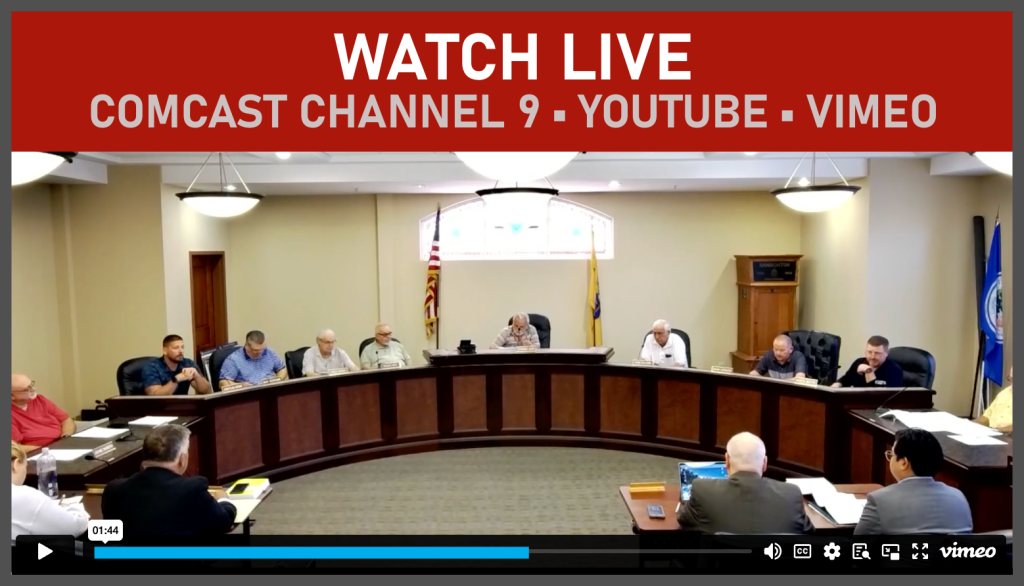
Video: All meetings stream live on Access Hammonton TV – Comcast channel 9, YouTube and Vimeo. Watch a past Land Use Board meeting on our Video Archive Page.
Download: Instructions to applicants applying to the Hammonton Joint Land Use Board
An applicant must submit their application documents to the Joint Land Use Board office for completeness verification. Once the application is received, the Board Secretary will check that all required forms are filled out correctly and that the necessary number of copies has been provided.
Board Members 2026
- Bill Olivo Chairman
bolivo@townofhammonton.org - Ralph Cappuccio Vice Chairman
- James Matro Councilperson
Phone: 609-567-4300 Ext. 404
jmatro@townofhammonton.org - Chris Kalani
- Michael Messina
- Ray Scipione Councilperson
Phone: 609-567-4300 Ext. 405
rscipione@townofhammonton.org - Edward Wuillermin
- Michael Hozik
- Jonathan Baske
- Joseph P. McGroarty Solicitor
- Philip Barbagallo
- Jesse Childs
- Mickey Pullia
- Stuart Wiser Planner
- Tiffany Morrisey Conflict Planner
- Shelly DiChurch Board Secretary
sdichurch@townofhammonton.org
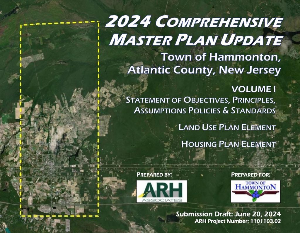
Hammonton Master Plan
*Download the entire Master Plan at the link below.
As required by the Municipal Land Use Law (MLUL), the Master Plan includes “a statement of objectives, principles, assumptions, policies and standards upon which the constituent proposals for the physical, economic and social development of the municipality are based.”
§5.3 Master Plan Update contains the Phase I Review of the goals and objectives identified by prior planning efforts, as well as determinations of the current status of each.
§5.4 Master Plan reaffirms where existing challenges remain and restates them within their current context as necessary and identifies new challenges that were identified for this Master Plan Update as guided by several Master Plan Elements detailed in the MLUL. Specifically, the following policies:
Specifically, the following policies:
- General
- Land Use
- Housing
- Circulation
- Infrastructure
- Community Facilities
- Recreation & Open Space
- Conservation
- Economic
- Historic Preservation
- Recycling
- Farmland Preservation
- Transfer of Development Rights
- Educational Facilities
- Green Buildings
- Environmental Sustainability
- Public Access
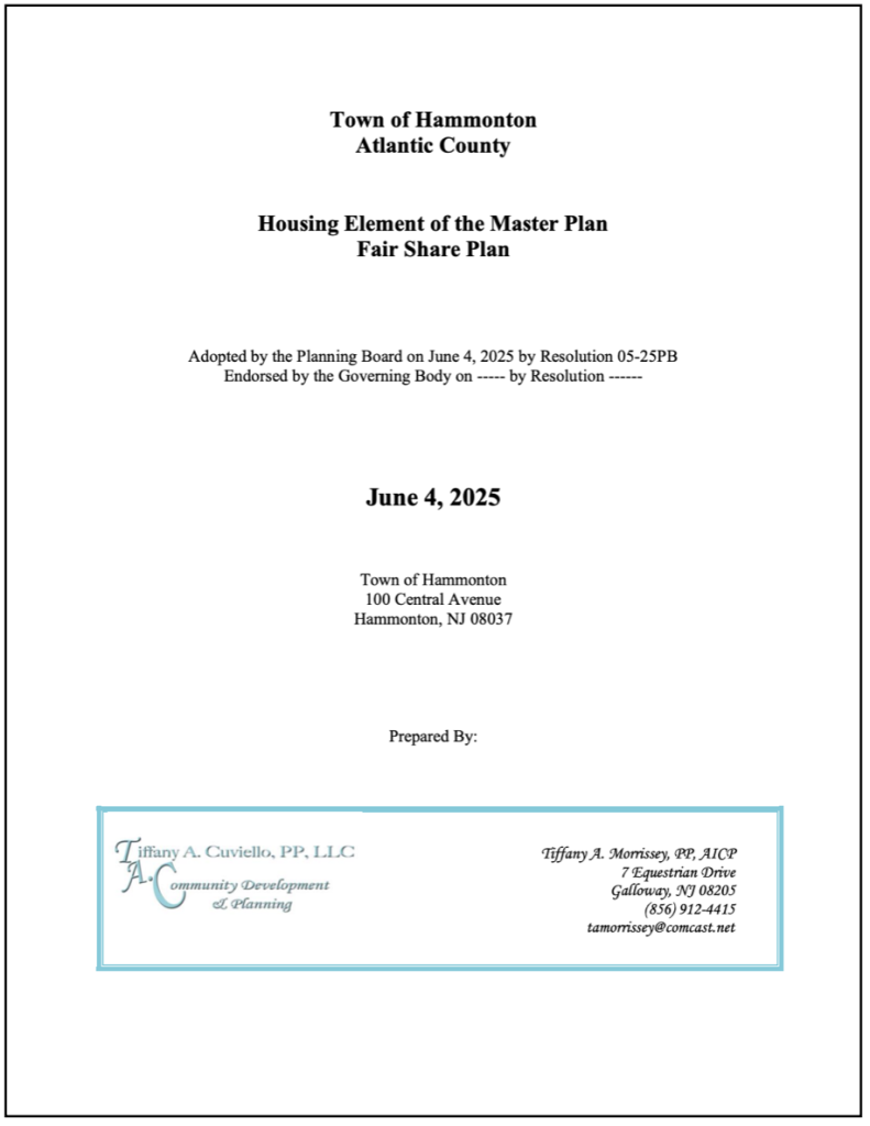 Housing Element of the Master Plan
*Download the entire Housing Element of the Master Plan at the link below.
The Town of Hammonton is located in Atlantic County, consisting of 41.5 square miles.
The Town is an older farming community, incorporated in 1865 and known as the “Blueberry Capital of the World.”
The Town is located within the Pinelands National Reserve and is subject to the Pinelands Comprehensive Management Plan (CMP.) As such only 26% of the total land area in the Town is with a “Development” area as determined by the CMP.
The balance of the land in the Town is either designated as Agricultural (35%) or Preservation/Forest Areas (48%). The Pinelands designations were created in the late 1970’s and followed the established development patterns in the Town. Today the Town has an active downtown and maintains their agricultural community.
Hammonton Zoning Map
*Download the Zoning Map at the link below.

Map legend includes the following:
- IDZ-1 – Inclusionary Development
- Zone DT-1 – Downtown District, Near Town
- DT-2 – Downtown District, In Town Railway
- DT-3 – Downtown District, In Town
- DT-4 – Downtown District, Downtown
- GW-1 – Gateway Distrist, Avenue
- GW-2 – Gatway District, Boulevard
- GW-3 – Gateway District, Crossroads
- HB – Highway Business R-1 – Residential – 1
- R-2 – Residential – 2
- R-3 – Residential – 3
- RR – Rural Residential
- R3-A – Residential (Set Aside)
- REC – Recreation
- M-1 – Industrial Park
- M-2 – Multi – Use
- M2-A – Multi – Use Age Restr./ Afford. (Set Aside)
- AP/CLI – AG. Prod./ Compatible Light Industrial
- FA – Forest Area
- AP – Agricultural Production
- PA – Preservation Area
- SAP – Agricultural District. Pinelands Town Boundary
- NHD – Water Bodies
- NHD – Streams

Archive Joint Land Use Board
Meeting Agendas & Minutes
2025 Land Use Meeting Agendas
2024 Land Use Meeting Agendas
2024 Land Use Meeting Minutes
2023 Land Use Meeting Minutes
2022 Land Use Meeting Minutes
2021 Land Use Meeting Minutes
2020 Land Use Meeting Minutes
2019 Land Use Meeting Minutes
2018 Land Use Meeting Minutes